Drone technology

Drone Technology for Precision Agriculture and Crop Intelligence

Agro Impact Global uses multispectral sensors, RTK mapping and AI-driven analytics to transform aerial field data into actionable agricultural insights.

Precision Earth

The DJI Mavic 3M for multispectral field surveys

A compact aerial platform that integrates a 20MP RGB camera, four 5MP multispectral cameras and centimeter-level RTK positioning.

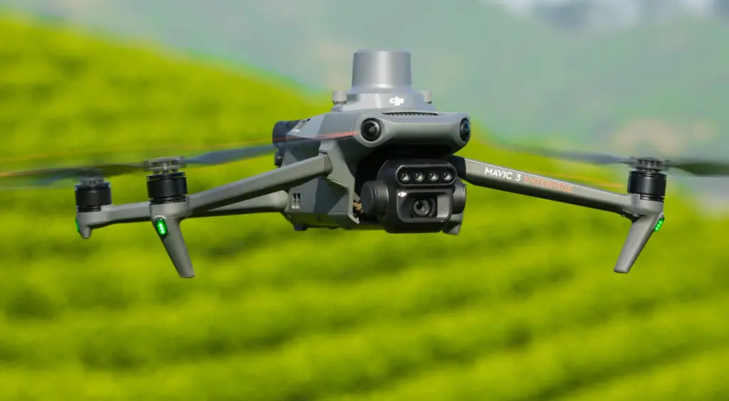
Multispectral Imaging System

Captures invisible insights across Green, Red, Red Edge and Near-Infrared bands.

RGB Sensor
20 MP / 4/3 CMOS
Multispectral Resolution
5 MP × 4 Bands
Positioning Accuracy
RTK Centimeter-level
DJI Mavic 3M
Hardware Model: M3M · PRECISION-01
Data Fidelity & Analytics

See crop performance with greater clarity

NDVI heatmap

Vigor Index

0.84 +12% vs LY

Ready to Optimize Your Harvest?