Field technology for clearer agricultural decisions
We empower agricultural producers with drones, remote sensing and data analysis to optimize resources, improve productivity and support stronger operational ROI.

Agro Impact Global helps agricultural teams use drone intelligence, remote sensing and data analytics to improve crop visibility, productivity and return on investment.
We empower agricultural producers with drones, remote sensing and data analysis to optimize resources, improve productivity and support stronger operational ROI.
We project a future where every hectare can be measured, managed with precision and used to produce more value with less operational friction.

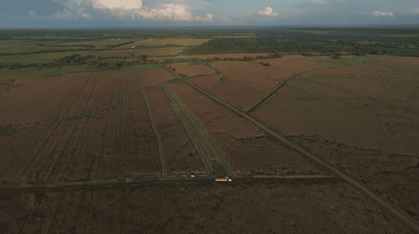
Across Australia, the United States and Venezuela, Agro Impact Global supports agricultural teams with drone mapping, NDVI analysis and aerial intelligence designed to turn field data into practical decisions.
Precision agriculture support for farms and agricultural teams looking to improve crop visibility, field planning and operational ROI.
Aerial intelligence for large-scale agricultural operations, helping teams monitor land, identify crop patterns and plan timely interventions.
Drone mapping and crop intelligence for producers seeking clearer field data, better resource planning and stronger agricultural decisions.

Main office
Calle Guasco, CC Plaza Centro, Nivel Piso 01, Local 30-L, centro Valle de la Pascua, Guárico
agroimpacto121@gmail.com
Phone
+34 912 345 678